 Photo: Quintin Gellar | Pexels
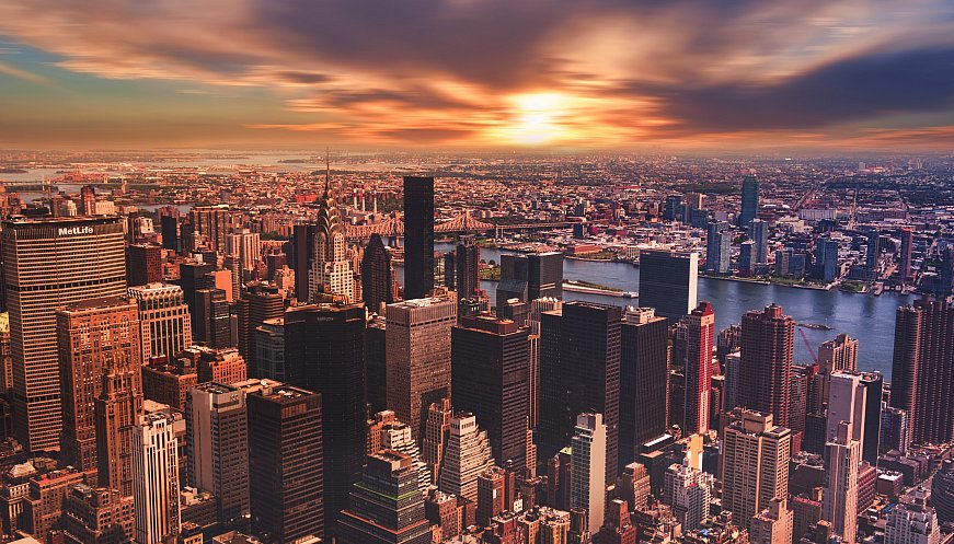
Scientists and volunteers in New York City recently took part in a day of temperature mapping, which is part of an effort led by the National Oceanic and Atmospheric Administration to better understand urban heat islands. These are areas where dense buildings, lots of concrete and little tree cover make life feel extra hot in the summer. Data shows that poorer neighborhoods and areas with more residents of color experience hotter temperatures in the summer because these areas tend to be densely built, with lots of asphalt and few trees. Project organizers will analyze the temperature findings and post the maps online. If we use some of this data, we can foster the idea that we, too, can enjoy things like a waterfront. We, too, can enjoy things like green space. So if this can be one of the ways that we begin to move forward with the idea of equity, let's do that, said Dr. Melissa Barber, founder of Bronx Unite and the mapping project's organizer.
|
|


More: